RTK and GNSS solutions
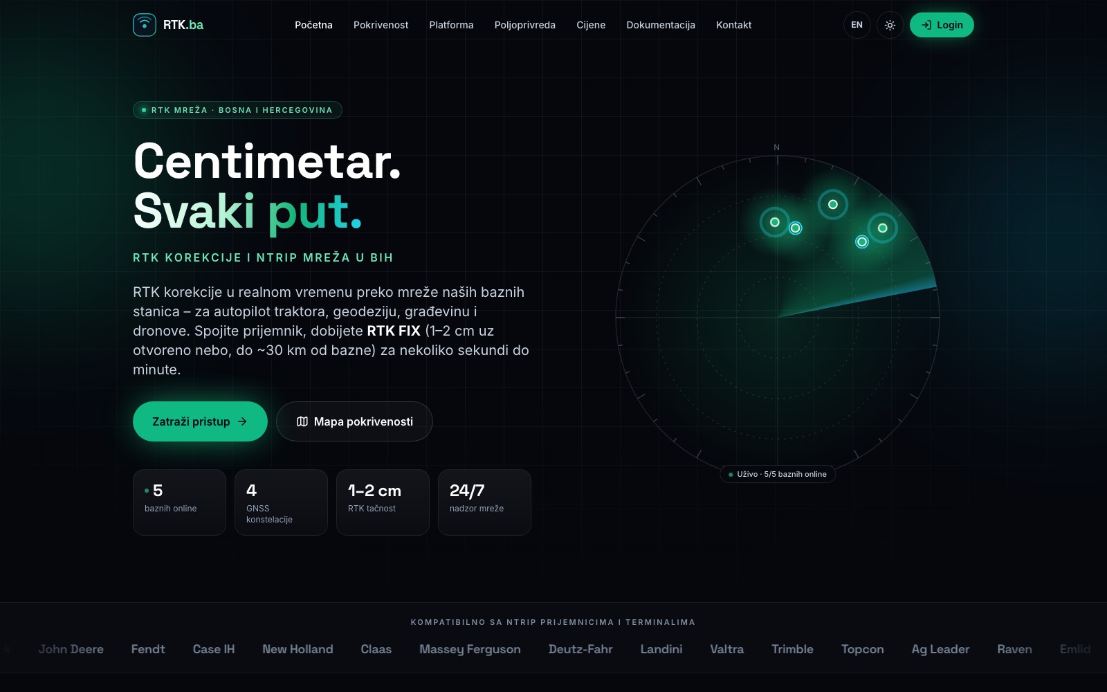
Centimetre-level GNSS positioning over the RTK.ba base station network, for tractor autopilot, surveying, construction and drones.
- RTK accuracy of 1–2 cm
- Four GNSS systems
- AUTO mountpoint
- Platform for operators
What it includes
RTK accuracy of 1–2 cm
With RTK FIX and open sky, up to about 30 km from the base station.
Four GNSS systems
GPS, GLONASS, Galileo and BeiDou.
AUTO mountpoint
Nearest healthy base station and automatic failover.
Platform for operators
NTRIP gateway and panel under your brand.
RTK (Real-Time Kinematic) positioning delivers 1–2 cm accuracy instead of the several metres an ordinary GPS gives. Saurus Group is the operator of RTK.ba, the network of RTK base stations and NTRIP service in Bosnia and Herzegovina.
How it works
- A base station at a precisely known position tracks GPS, GLONASS, Galileo and BeiDou and broadcasts RTCM 3 corrections every second.
- The NTRIP gateway checks your account, picks the nearest healthy base station for your position and forwards the corrections, switching automatically to another base station if one goes offline.
- Your receiver (tractor, surveying instrument or drone) calculates its position with centimetre-level accuracy.
Who it is for
- Agriculture – tractor autopilot, repeatable AB lines, less overlap and less wasted seed, fertiliser and fuel.
- Surveying and construction – surveying and staking out without your own base station.
- Drones – precise aerial surveys and terrain mapping.
Access works with receivers and terminals that support NTRIP, and plans last from 1 to 12 months. See the live coverage and status of the base stations at rtk.ba/pokrivenost. In agriculture we work with our partner MS AGRO.
Software for your RTK network
We also offer the platform that runs RTK.ba – with its NTRIP gateway, administrator, reseller and client roles, billing and monitoring – to other operators under their own brand.